Utility Engineering Specialists
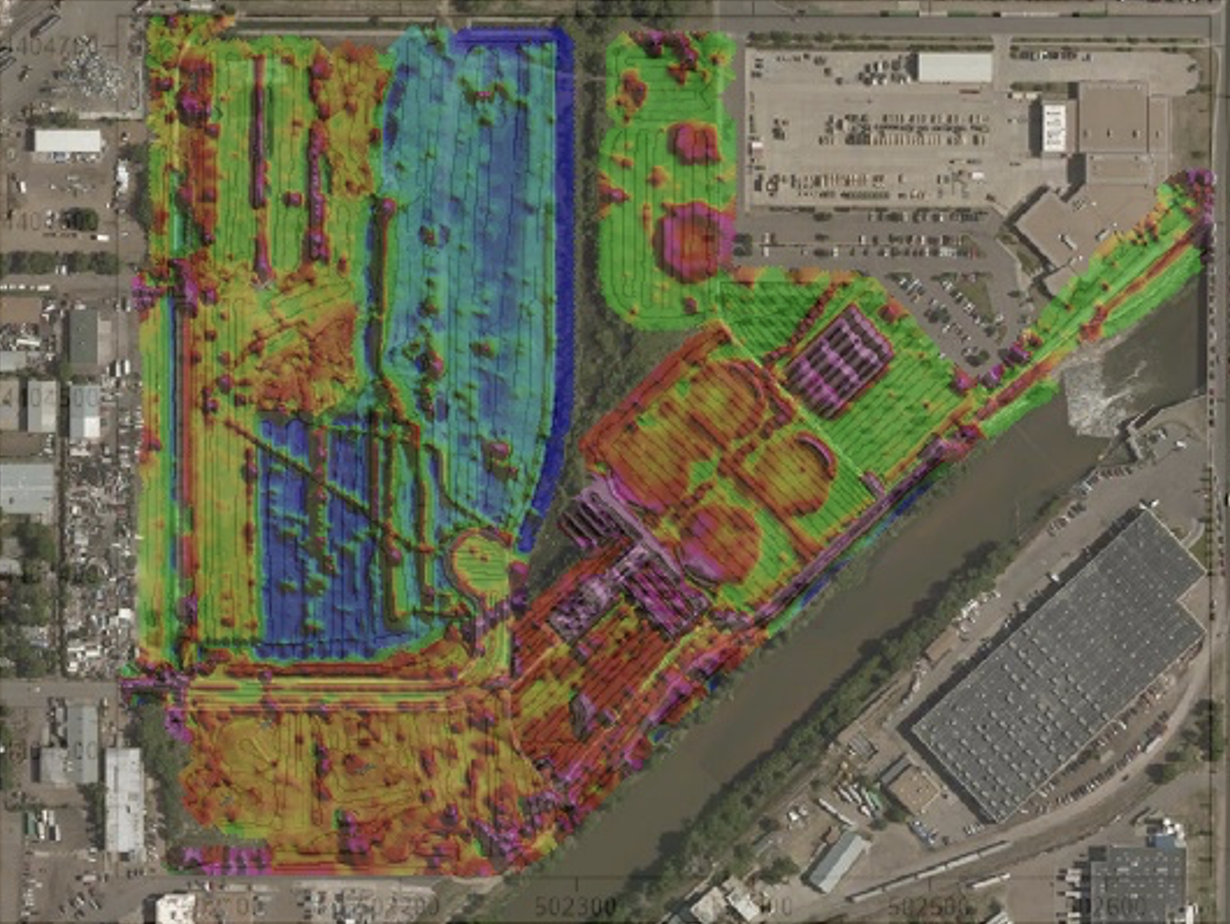
UMS methodologies include: 1) advanced 2-D and 3-D geophysical survey methods; 2) sophisticated data management technologies compliant with emerging 3-D digital technologies and ASCE and Open Geospatial Consortium (OGC) standards; 3) 3-D modeled depictions for enhanced design analytics, utility coordination, construction planning, building information management (BIM), machine guidance, etc.; 4) progressive conflict analysis, clash detection, and sophisticated resolution engineering; and 5) advanced coordination and innovative contracting strategies.
Field Operations & Engineered Solutions
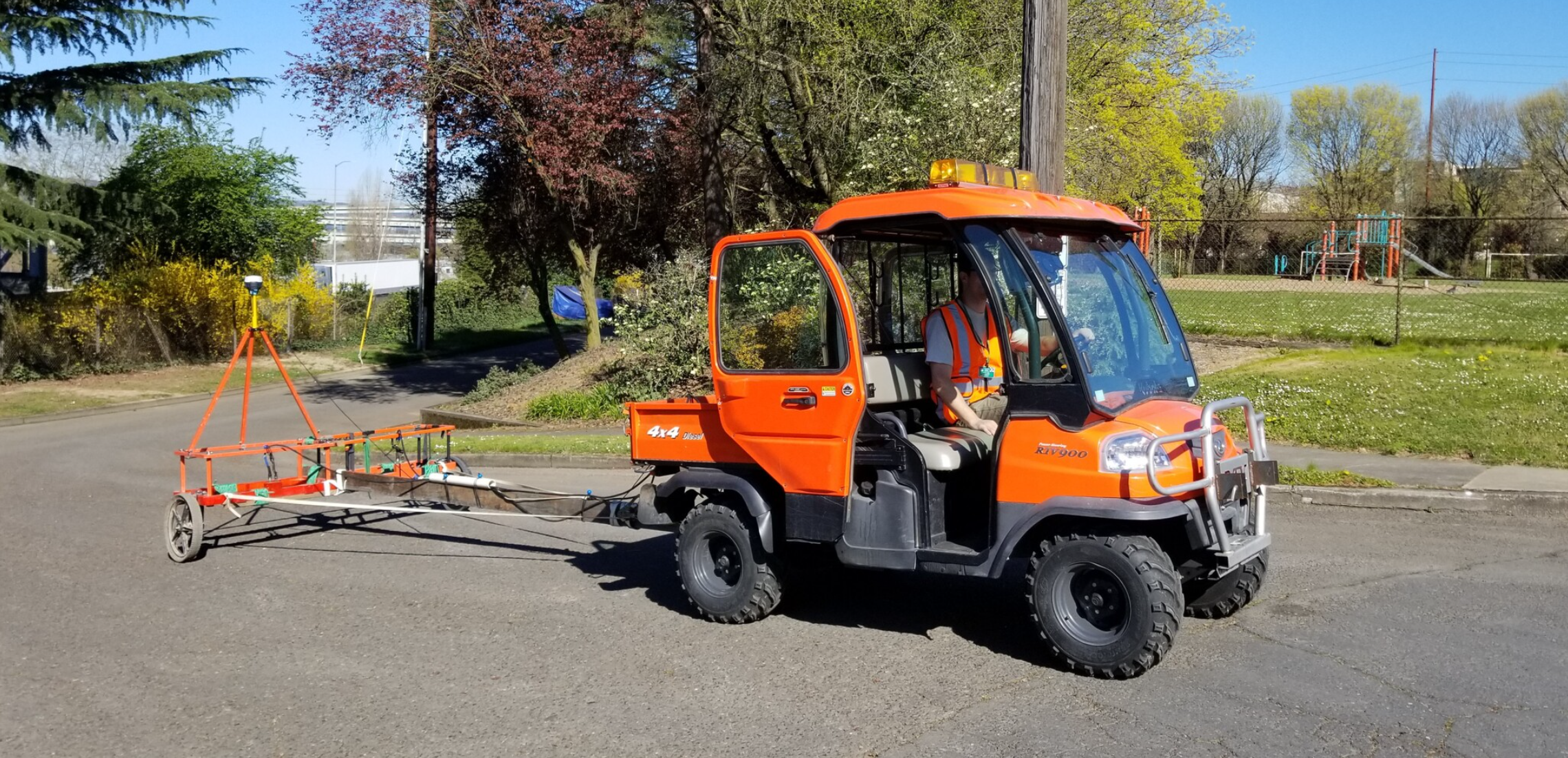
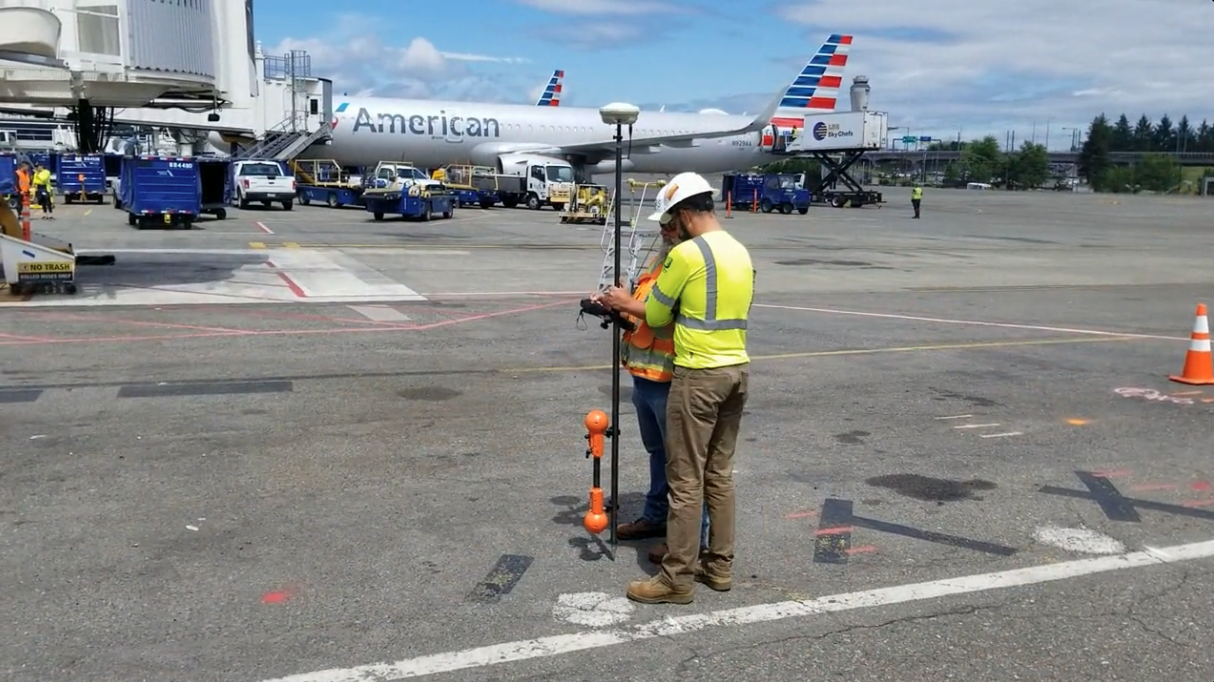
Our proven methodology optimizes utility coordination and conflict resolution engineering and includes the following activities: utility designating and locating per ASCE 38-02, conflict analytics, value engineering, cost estimates, agreements, quality control, scheduling, risk reduction, safety analyses improvements, and project buy-off. Our work meets ASCE 38 standards (as intended) and work products include: 1) existing utility reference CAD file with 2-D and/or 3-D depictions and labels provided in accordance with ASCE 38; 2) a corresponding SUE engineering report sealed by the SUE professional engineer-of-record.
Technology Platforms
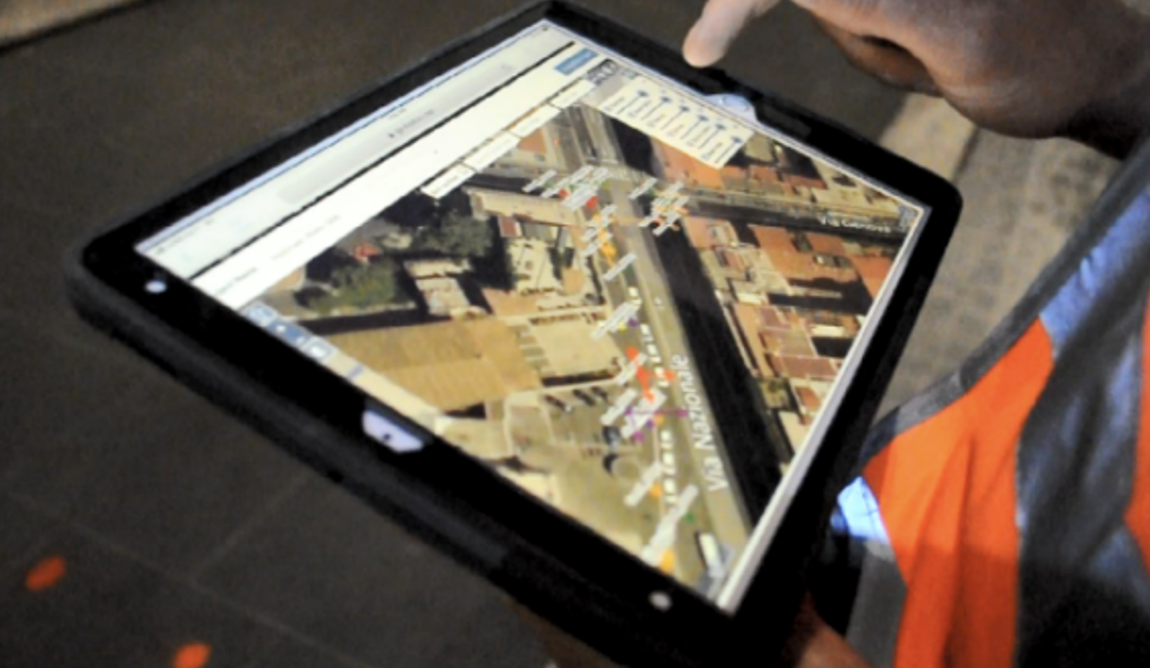
Enabling the overall strategy is GeoFeature™, a collaborative, secure, web-based utility infrastructure repository and management application with live GIS mapping and viewing, and data integration. GeoFeature™ enables us to:
- Manage the complexity of utility infrastructure data (spatial, attribute, metadata) in a structured, secure, readily accessible offsite (cloud) repository.
- Organize disparate data in a systematic manner for creating and continuously updating 2-D and 3-D depictions of existing utility infrastructure, including proposed and newly installed facilities.
- Itemize, manage and coordinate clash detection and conflict analyses results with project design and utility teams for efficient design coordination and value engineering.
- Facilitate utility coordination process and engagement of utility owners; integrate utility betterments, new installations, relocations, and protect-in-place alternatives; and accelerate utility agreement development.
- Facilitate digital project delivery (planning, bidding, and construction) and as-built data collection, management, and updates.

Solutions
Accurate and reliable 3D models lead to a better understanding of conflicts between utility infrastructure and civil projects. Equipped with that knowledge, project owners, designers, utility and facility operators, and contractors can plan accordingly and find resolutions to those conflicts before construction begins.
Field Operations
Engineered Solutions
GeoFeature Platform

We are leaders in conducting complex utility investigations, including usage of advanced geophysics, managing the complexity of data, and producing accurate 3D models of existing utility infrastructure with standardized metadata ready to be consumed for design and construction needs.
Advanced civil engineering and construction firms are now implementing 3D design, BIM, digital project delivery, and virtual design and construction capabilities that require a constant and consistent flow of high quality three dimensional field data.

Accurate and reliable 3D models lead to a better understanding of conflicts between utility infrastructure and civil projects. Equipped with that knowledge, project owners, designers, utility and facility operators, and contractors can plan accordingly and find resolutions to those conflicts before construction begins.
Multilateral conflict analytics and sophisticated engineering resolutions to integrate utility infrastructure within mainline transportation projects to effectively reduce risk and the project schedule critical path. We have a state-of-the-art utility conflict management module for enabling superior utility engineering analytics and project delivery optimization strategies.

We are experts with assessing as-is conditions and designing the technology architecture (GeoSuite) required for public agencies to efficiently manage utility infrastructure installed within public ROW. Advances in data acquisition technologies, new published utility data standards, and trends in the industry are leading public right-of-way (ROW) agencies toward having a solid grip on utilities installed within their jurisdictions.
The ASCE/CI/UESI 75-22 Standard Guideline for Recording and Exchanging Utility Infrastructure effort led by Phil Meis (UMS President) and Don Haines (UMS Senior Project Manager), and the ASCE UESI Utility Risk Management Division’s Utility Infrastructure Data Exchange and Security Committee Dan Colby (UMS Senior VP of Technology) now leads serve as catalysts to that end.

