
A field to office mapping software suite that enables personnel to both capture and view data for acquisition, processing, review, and quality assurance activities. Provides offline and online modes to sync field data to and from the GeoRepository and the GeoCollaborate Portal. GeoFeature Cloud Portal.

Our Platforms
A Structured Technology Approach to Managing Utility Data
UMS modernizes data management, collection, aggregation, integration, data analytics and stakeholder project collaboration with state of the art interactive map-based technologies. We organize, manage and administer project data providing seamless stakeholder collaboration. Our technology suite arms and modernizes your organization with the next generation of geospatial project management and location-based mapping technologies.

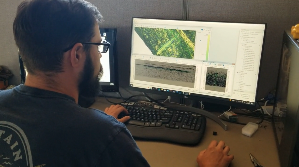
GeoFeature Mobile and DesktopTM
GeoFeature RepositoryTM
A utility data repository and integration platform in the cloud that manages the business rules for geospatial data integration, data aggregation, data publishing, security, user administration, connectivity, routing, queuing, messaging, data transformation, application integration, reporting, etc.
GeoFeature CloudTM
A web-based project, data analytics and collaboration platform with an interactive map- based interface with intuitive dashboards. Allows users to organize, manage and administer their data based on projects and to seamlessly collaborate within their organization and externally to third parties.
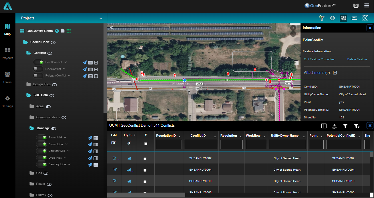
GeoConflictTM
Built upon the the GeoFeature Cloud platform the GeoConflict is an extension to the GeoFeature Cloud web experience by providing a conflated conflict management view of all project related files into one single and seamless user interface. Interaction with project stakeholders is simplified and automates the identification of conflicts and auto populates the utility conflict matrix within one powerful shared mapping collaboration experience.