
Professional Utility Investigations
We are experts in establishing the georeferenced position of utility infrastructure and accurately depicting that infrastructure in accordance with ASCE Standard 38 and managing utility data in accordance with ASCE Standard 75.
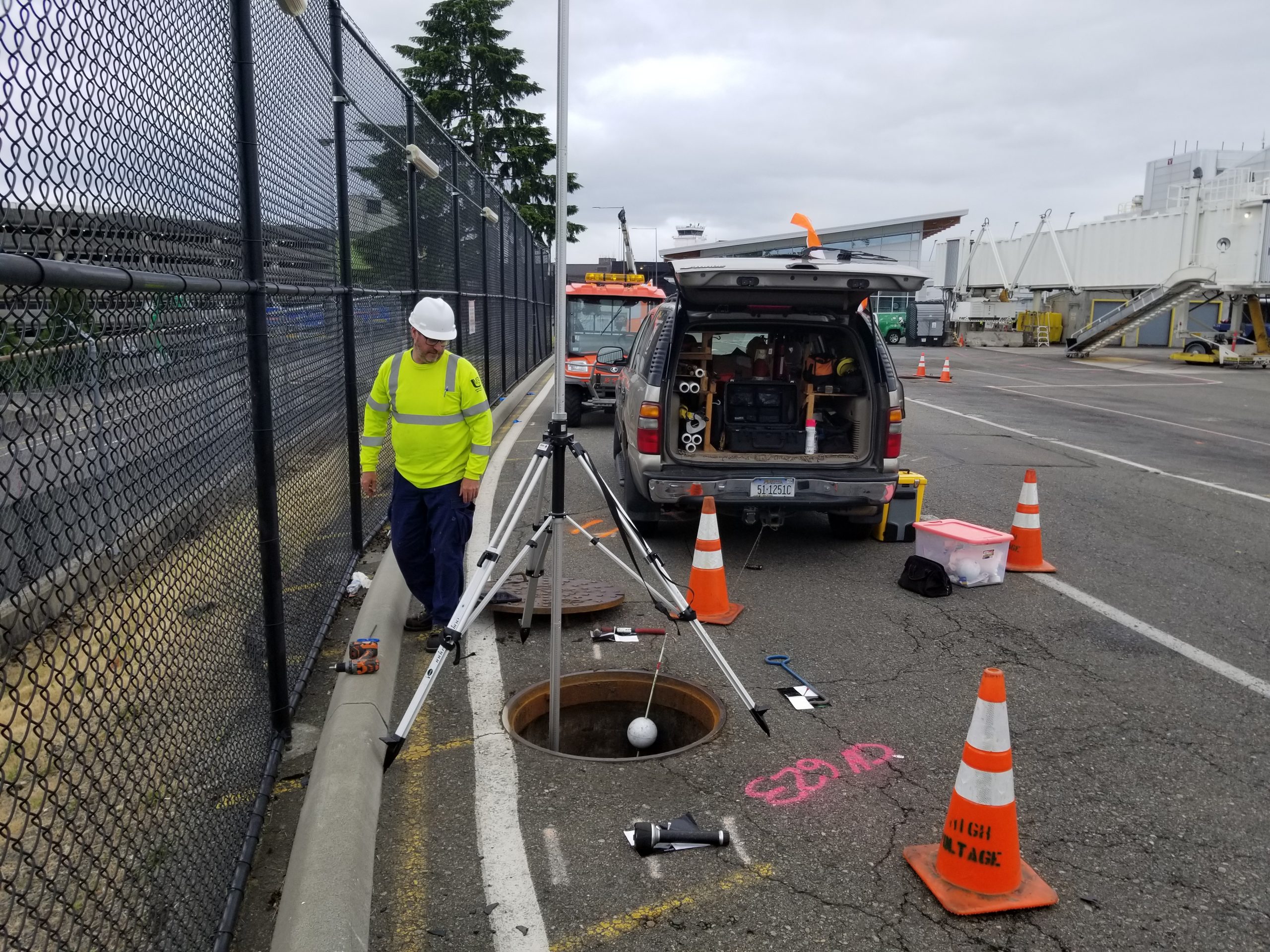
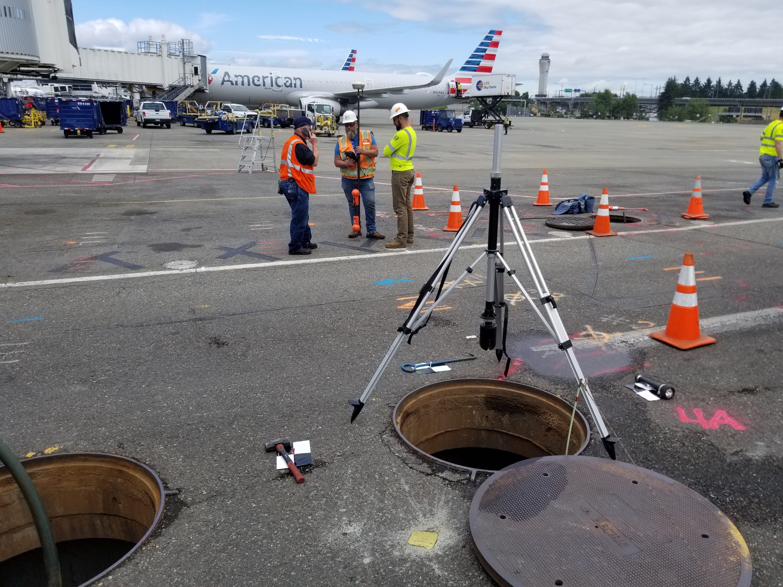
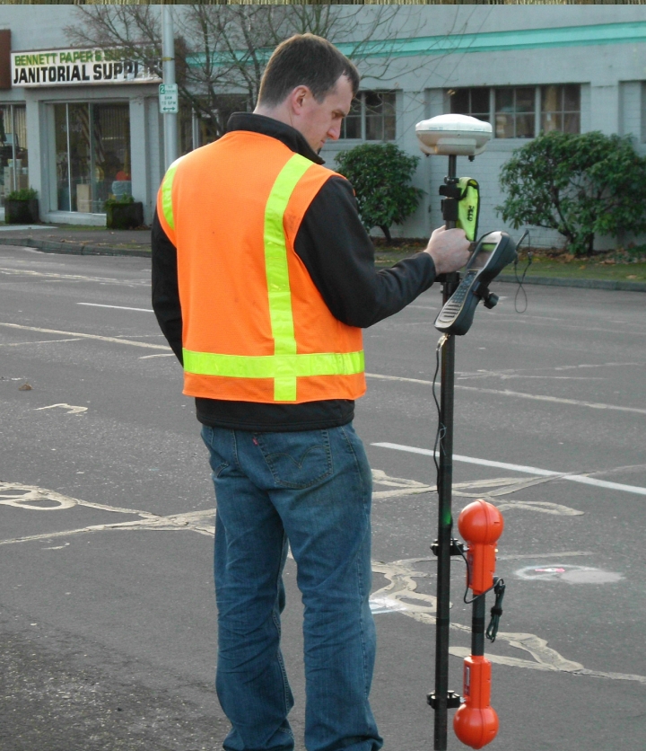
UMS combines state-of-the-art geophysical, remote sensing, bathymetric, LiDAR, and survey technologies with supplemental non-destructive test holes to designate and depict utility infrastructure and develop professional CADD, GIS, and report submittals.
Accurate and reliable 2D depictions and 3D models of utility infrastructure enable improved conflict analytics, designs, and construction planning. Project owners, designers, utility operators, and contractors can then collaborate to find resolutions to those conflicts that ensure safe, fast, and trouble-free construction well before groundbreaking begins.
Impact Showcase

Reducing Utility Related Project Risks
At UMS we reduce utility-related risk to projects using the very best methods and technologies to 1) investigate, define and understand the utility landscape; 2) analyze project designs and flag issues, and 3) implement value-engineered and innovative strategies that mitigate utility impacts and optimize project delivery. We transform utility management from inefficient reactive construction struggles into efficient proactive engineering that expedites construction, reduces risk and costs, and mitigates public discomfort. Across North America, we have a reputation for providing services that include:
• Investigating, depicting, and mapping utilities in accordance with ASCE 38/75 standards;
• Documenting facility condition and notifying concerned parties;
• Processing and managing utility data using OGC-compliant, GIS-friendly technologies;
• Analyzing and resolving issues while building relations through professional utility engineering whereby the public welfare is held paramount over all other interests;
• Engaging stakeholders (e.g., project owners, design team, utility operators, public and commercial interests) while coordinating the resolution process;
• Overseeing or developing utility designs and specifications as required;
• Estimating costs and tracking work for utility conflict avoidance, accommodation, and relocation;
• Implementing utility data management strategies and technologies; and
• Bid document preparation and construction support.